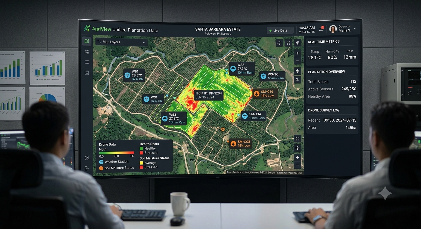
Most plantations today collect data from multiple sources: automated weather stations tracking microclimates, water level sensors monitoring drainage, drone surveys mapping terrain, and manual observation logs from field teams. The problem? All of this data lives in silos — disconnected systems that never talk to each other.
The Cost of Disconnected Data
When sensor readings, weather data, and field observations exist in separate systems, managers face an impossible task: manually correlating information that should come together automatically. A water level spike during heavy rain should trigger an immediate drainage assessment. Instead, it gets logged in a spreadsheet that nobody cross-references until a problem becomes visible.
How Biota Closes the Visibility Gap
Universal Data Ingestion: Biota connects to virtually any sensor, gateway, or data source on the plantation — AWS, water sensors, smart meters, drone outputs, manual logs.
Single Georeferenced Dashboard: Every data point is mapped to its geographic location, giving managers a unified spatial view across their entire estate.
Correlation Engine: Biota automatically identifies relationships between data streams — connecting a rainfall spike with water level rise and drainage alert in one view.
Automated Reporting: Compliance reports that once took days of manual data compilation are generated automatically from the unified dataset.
Faster Decisions, Fewer Surprises
When all plantation data streams converge on a single platform, managers stop reacting to problems and start anticipating them. They see correlations they would never spot in spreadsheets. They have auditable data for regulators without the scramble. And they make operational decisions based on complete visibility, not partial information.
Avirtech's Biota platform was built to solve exactly this problem — turning data chaos into plantation intelligence.
Related blog posts
Products⎯Jul 07, 2026
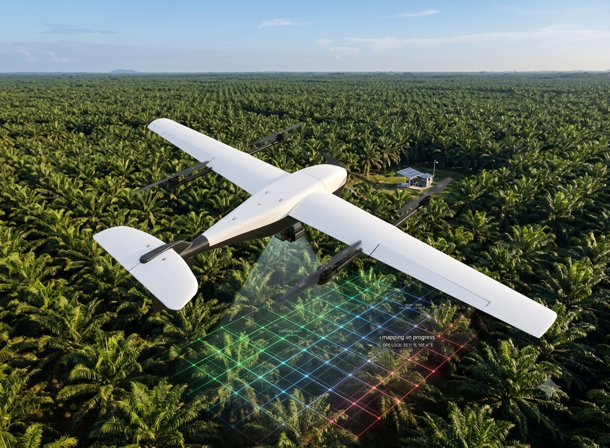
By the Numbers: What a Single Drone Mapping Mission Delivers for Plantation Operations
Products⎯Jun 24, 2026
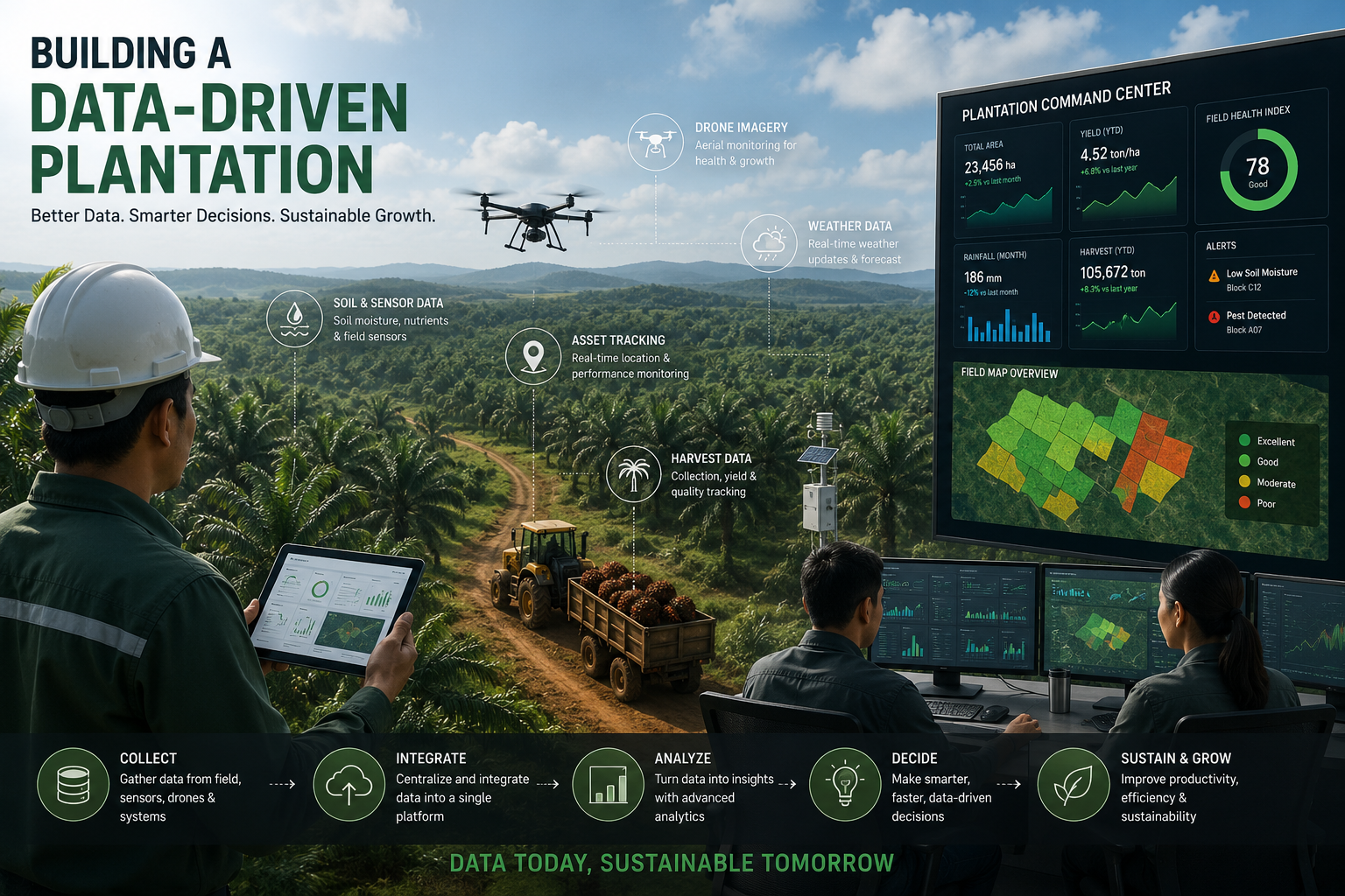
From Data to Decisions: A Thread on Building a Data-Driven Plantation Operation
Products⎯Apr 25, 2026
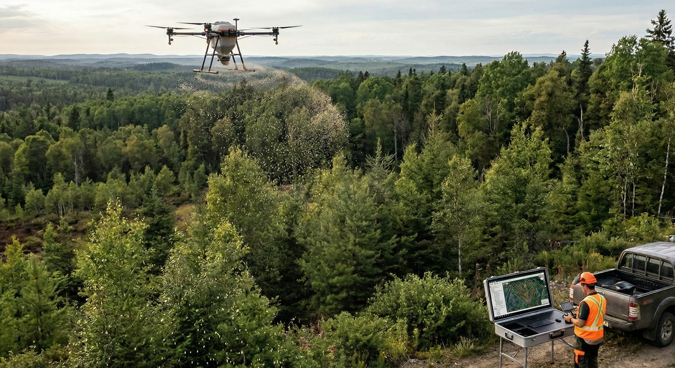
Improving Fertilizer Distribution Efficiency in Forestry Environments Using High-Capacity Aerial Spreading Systems