
Products & Services
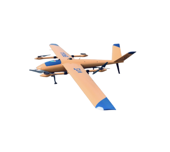
Aviro Z1
Survey and mapping drone with vertical take-off and landing (VTOL) capabilities, combining the best of both worlds of multi-rotor and fixed-wing drones.
Professional survey and mapping drone
take-off and landing (VTOL) capabilities, combining the best of both worlds of multi-rotor and fixed-wing drones.

Survey and mapping drone
The Aviro Z1 is a long-range drone that maps large areas with two payloads. It only needs two days of training for full operation and sets up in about 10 minutes, equipped for mapping, thermal imaging, or vegetation health.
Survey and mapping drone
The Aviro Z1 is a long-range drone that maps large areas with two payloads. It only needs two days of training for full operation and sets up in about 10 minutes, equipped for mapping, thermal imaging, or vegetation health.

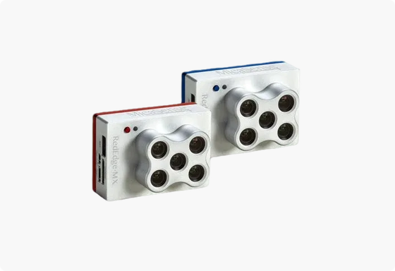
Dual payloads
The Aviro Z1 is the industry's first drone with dual payload capability, allowing many types of data to be acquired with various sensor combinations in a single flight.
Base package includes
Items are available for a complete and hassle-free experience.

Aviro Z1 drone
Remote controller
Battery set XL
Battery charger XL
Industrial transport case
1 year warranty carry in
Technical support
Ground station
Technical specifications