
Products & Services
Aviro V3
Built and fine tuned with our years of experience developing VTOL drones, Aviro V3 is one of our best professional-grade long range mapping and surveillance drone today.
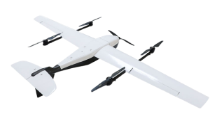
Professional VTOL mapping, surveillance drone
Developed from years of VTOL drone expertise, excels in professional-grade long-range mapping and surveillance.
Superior performance in harsh environments
Streamlined aerodynamic design excels in handling complex requirements for large areas with harsh conditions.
Optimized for long-range surveillance missions
Combining VTOL and fixed-wing drone capabilities, Aviro V3 excels in long-range surveillance missions.
Enhanced mobility for challenging missions
9 sqm take-off, detachable parts enable advanced surveillance drone mobility and quick deployment.
Versatile payloads, lightweight design
V3 features a strong yet lightweight carbon fiber body, capable of carrying various payloads.
High-resolution mapping, survey-grade accuracy
Supports mapping with high-resolution cameras and multi-band PPK system for accurate results.
Payload options
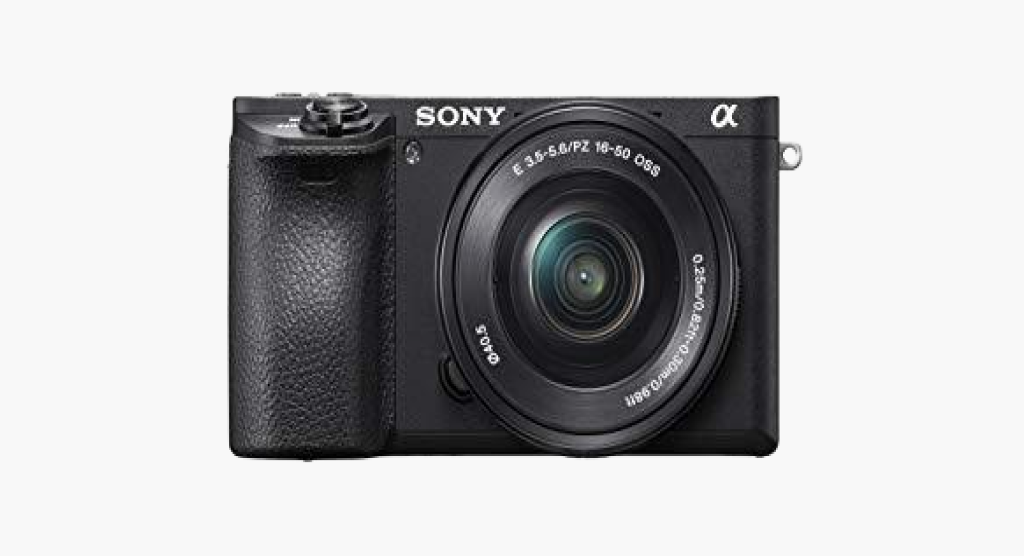
Sony Alpha 6000 features a 24.3 megapixels APS-C sensor, delivering exceptional image quality in a compact design.
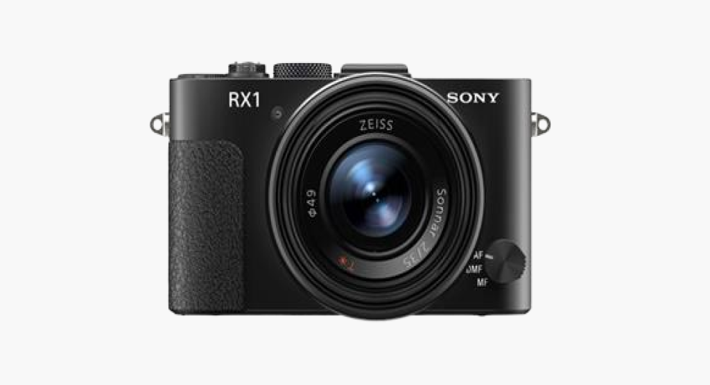
Sony RX1RRI features a 35mm full-frame sensor with a remarkable 42.4 megapixels resolution.
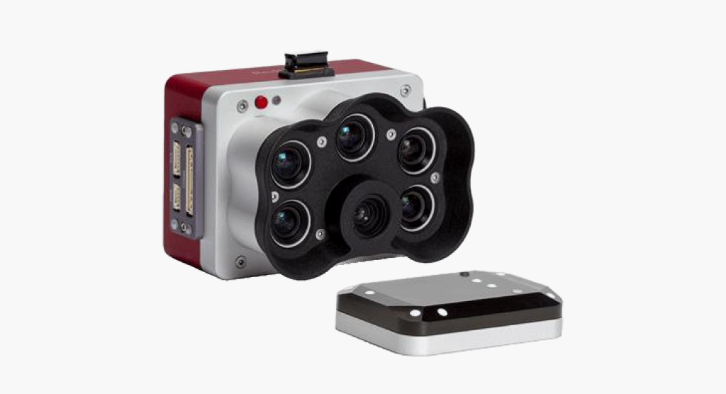
MicaSense RedEdge-P offers high-quality multispectral imaging for precise agricultural monitoring and analysis.

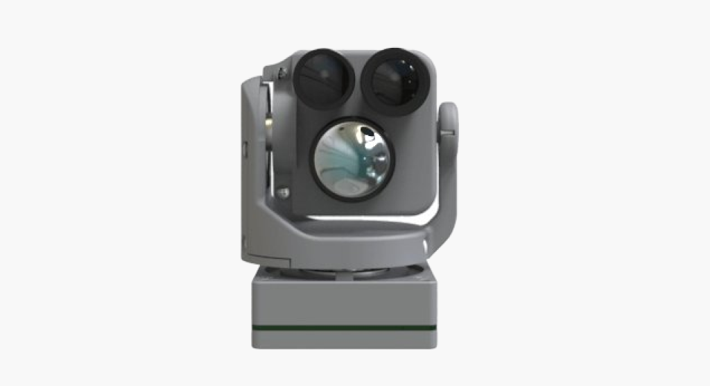
30X optical zoom, thermal camera, laser range finder, 3-axis gimbal, and Al tracking.
Up to 40X zoom, thermal camera, super light weight 115gram, AI automatic object tracking military grade.
Technical specifications