
Products & Services
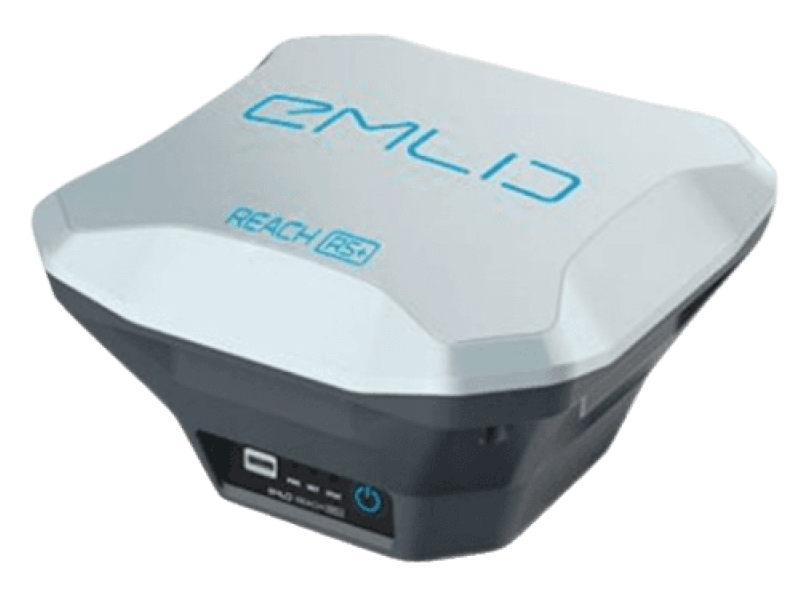
Emlid Reach RS+
GNSS receiver for high-precision positioning in mapping and surveying. Supports multi-constellation, RTK technology, and wireless connectivity. Durable and user-friendly.
Survey with Emlid Flow
User-friendly data collection app for Android and iOS, multilingual, supports diverse coordinates, controls Reach receivers.

Surveying with ReachView 3
The most user-friendly software for data collection Supports thousands of coordinate systems and is translated into multiple languages. Collect and stake out points and control all the features of Reach recelvers, such as setting up a base station, logging RINEX data, and configuring NMEA output.
Point collection: Save points, and export data to CSV
Create a survey project and collect data in your local coordinate system. Coordinate systems based on WGS84, NAD83, GDA2020 and others.
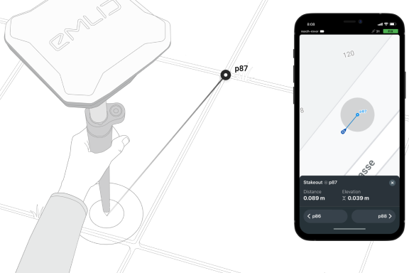

Stakeout: Find point’s position on the ground
Stakeout is used to find exact physical locations of points. They can be collected in Emlid Flow or imported from other CAD or GIS software.
Logging in RINEX
Keep a track of the raw data, position, and base corrections. RAW data point gathering and recording are separate operations that can be used at the same time. For logging configuration and control, ReachView features a simple and clear interface.

Connectivity
Real-time position streaming in NMEA
Most GIS apps accept data in the standard NMEA format, which Reach delivers. Connect your device to Reach through Bluetooth or a cable, then enable "Position output" in ReachView.
Reach can turn on and off automatically
Reach can switch on and off in time with a connected external C50 battery via RS-232. When the power button is difficult to reach, this is useful. For instance, if the receiver is mounted on the tractor's roof.
Compatible apps
MachineryGuide, AgriBus-Navi, farmer, Agripilot, and others.
Position streaming
Interfaces: RS-232, TCP, Bluetooth.
NTRIP or another Reach as a base station
As a source of corrections, Reach RS2 requires a base station. In RTK and PPK, centimeter accuracy is a prerequisite. Another Reach RS2 receiver or an TRIP service might serve as the base. VRS can also be used. Over any link, the Reach RS2 works flawlessly with other Reach receivers. Reach RS2 works seamlessly with other Reach receivers over any link.
Input and output corrections
Interfaces: TCP, LoRa, Bluetooth, RS-232, NTRIP Formats: RTCM3.
Max distance from a base
Over 60 km in RTK, 100 km in PPK, any place on Earth with PPP.
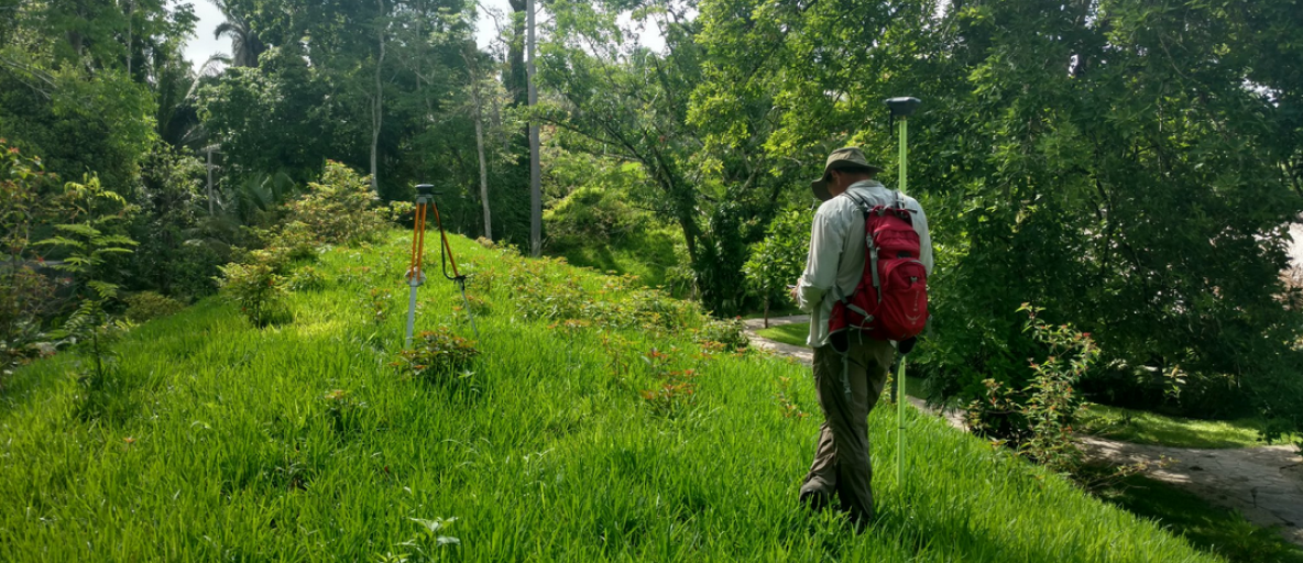
Reach RS+ is designed for harsh conditions.
Dense forests, mountains, frost, heat and water, Reach can handle them all.
IP67
Can be held 1 meter deep under water for half an hour.
-20ºС…+65ºС
Working temperature. Isn’t afraid of either heat or cold.
30 hours
Industrial LiFePO4 battery that doesn’t die of cold. Can charge over USB from a power-bank.